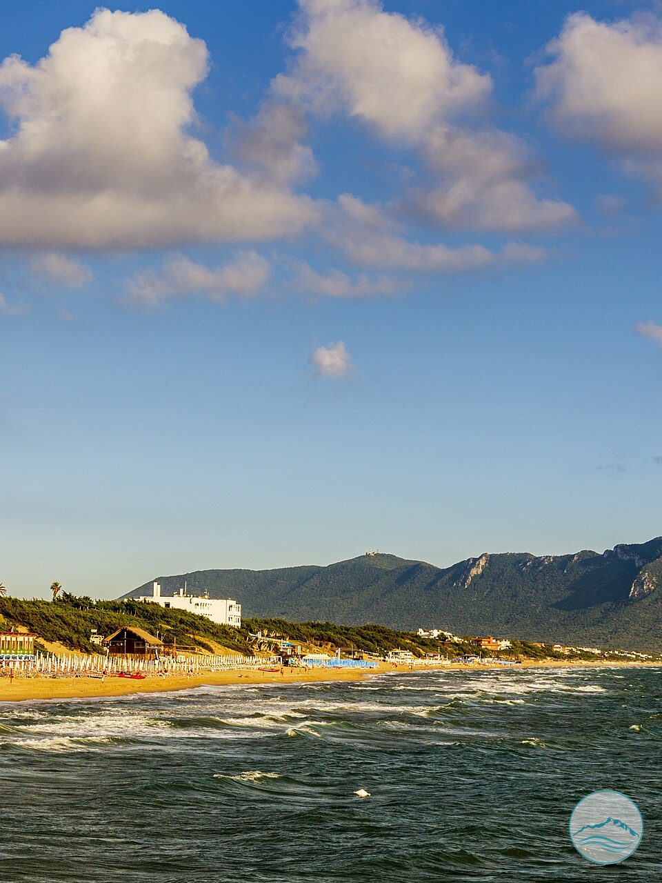
The place
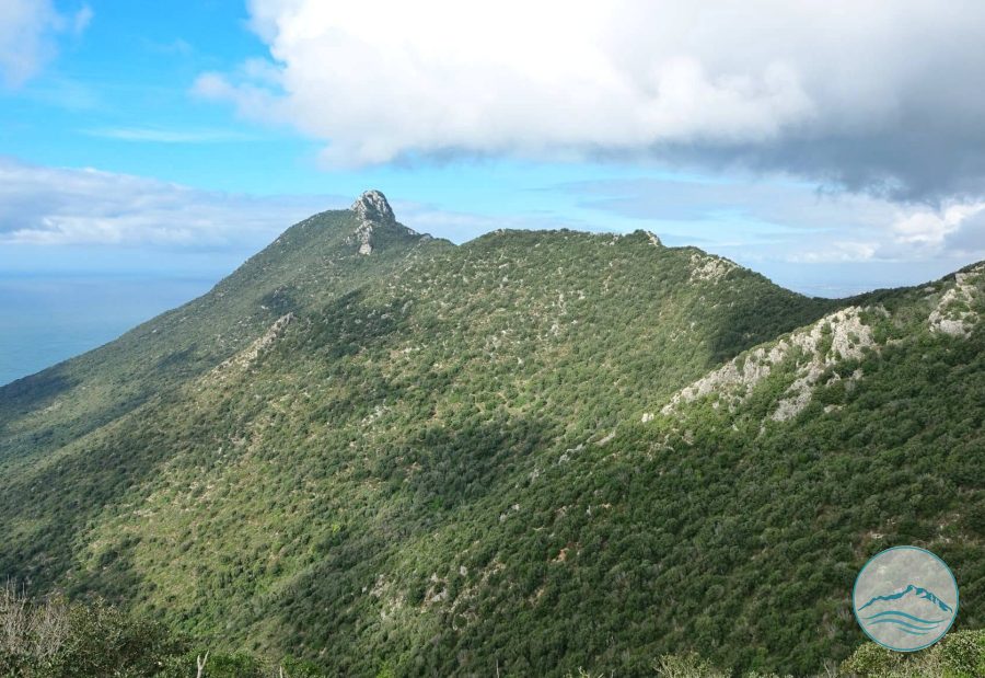
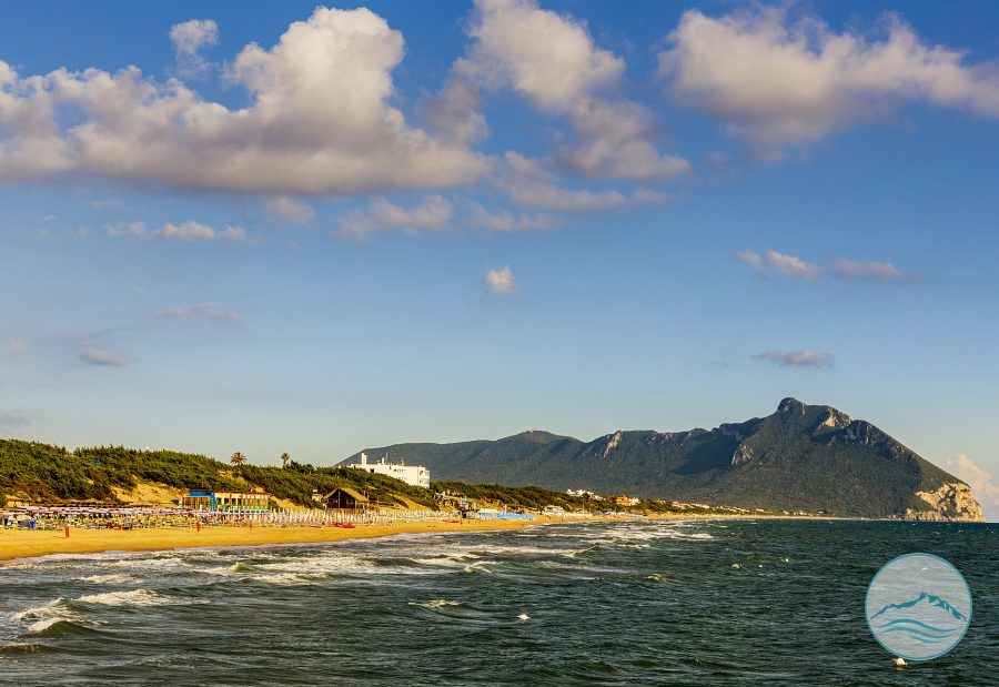
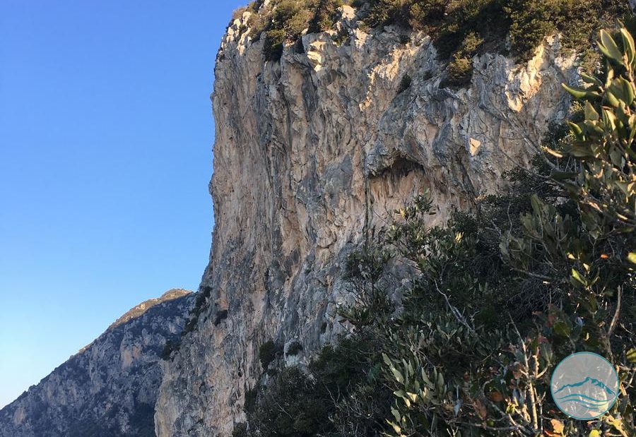
Hiking route that climbs from the Selvapiana area up to the Picco di Circe, the summit of the promontory, crossing stretches of Mediterranean maquis within the National Park; it is one of three access routes to the highest peak of Monte Circeo, each with its own characteristics and elevation gain.